Technology

TerraGenie is the combination of a professional surveying software platform and complementary central information system

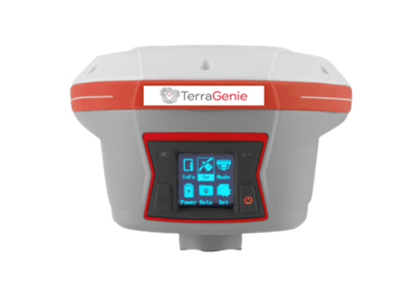
TerraGenie GNSS receivers and controllers are known to be technologically advanced, easy to use and provide a robust and accurate positioning, under any circumstances. Boosts survey and stakeout speed by up to 30%. Construction and land surveying projects are achieved with high productivity and reliability pushing the boundaries of conventional GNSS RTK survey.

In TerraGenie products the client receives 3 major advantages:

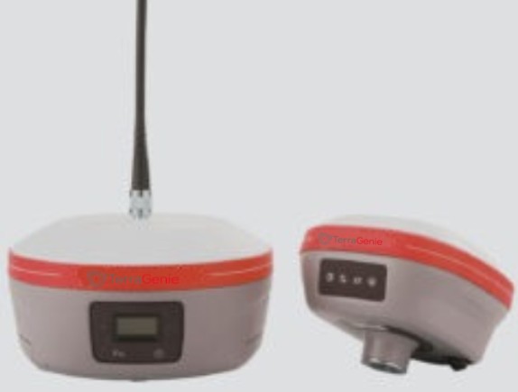
  1. EXTREME GNSS POSITIONING - The embedded 624-channel GNSS technology takes benefit from all constellations - GPS, GLONASS, Galileo and BeiDou signals and provides robust RTK position availability and reliability.
  2. HIGH PRODUCTIVITY - IMU-RTK SURVEYING – convenient calibration process, no levelling needed.
  3. EXTENDED CONNECTIVITY - Instant NFC pairing of your controller.

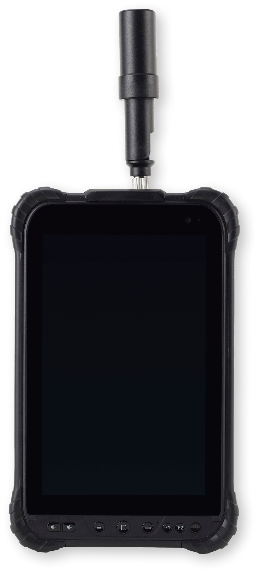
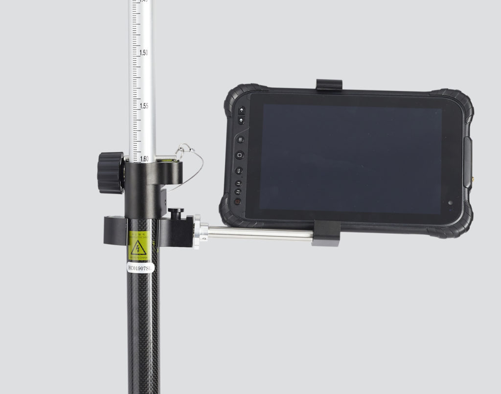
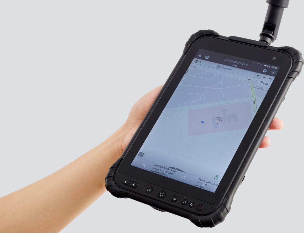
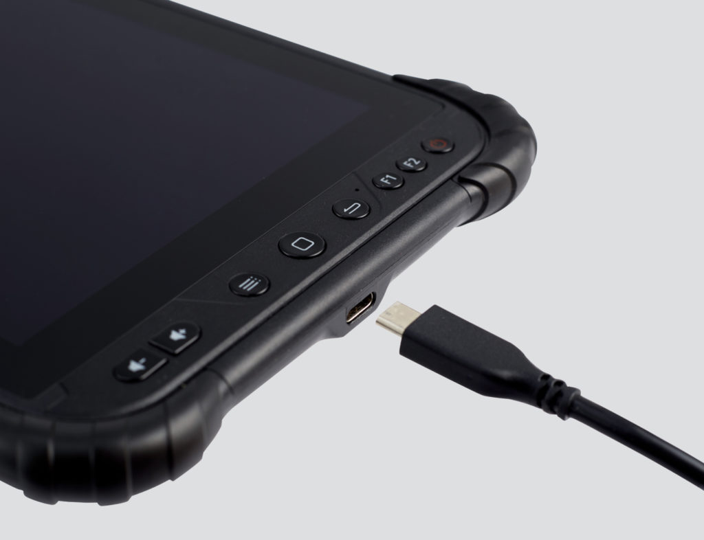
All of Handheld's Tablets and Phablets are rugged, built for tough environments. Handheld's anti-glare screens allow the user to conveniently work in any outdoor environment.

TerraGenie products

TerraGenie PRO

Multi-constellation tracking. Combine GPS, Glonass, Galileo and BeiDou. Powered by a 336-channel GNSS core engine, the TerraGeniePRO Pro provides robust and reliable RTK position to any surveying project and positioning application.

Dawnload PDF

TerraGenie NX

The ultimate pocket IMU-RTK GNSS receiver. Extremely rugged to cope with challenging environments.
The integrated advanced 624-channel GNSS technology takes advantage of GPS, Glonass, Galileo and BeiDou, in particular the latest BeiDou III signal, and provides robust data quality at all times.

Dawnload PDF

TerraGenie TAB

Benefit from full-GNSS RTK networks corrections Powered by 184-channel high performance GPS, Glonass, Galileo and BeiDou module and superior tracking GNSS helical antenna, the TAB provides best-in-class centimeter to decimeter position in demanding environments.

Dawnload PDF