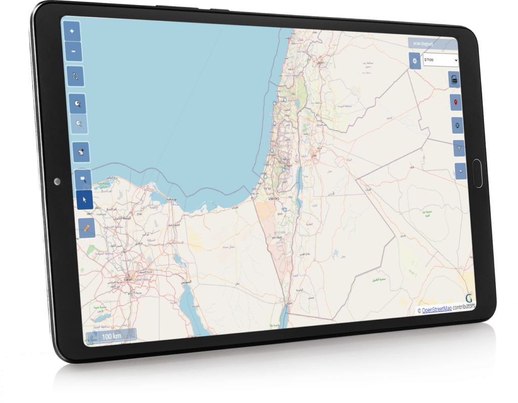
TerraGenie is cloud-based browser-based software platform that connects
field survey collection and the office complementary activities.
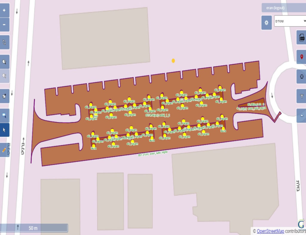
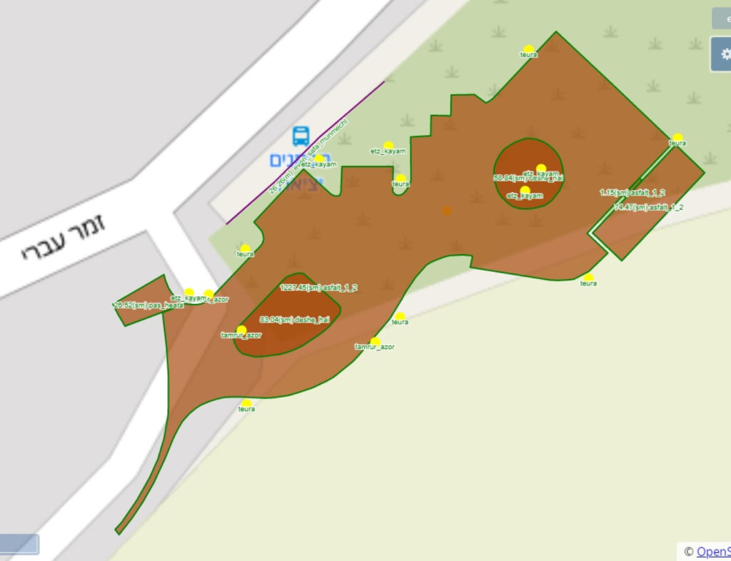
All collection and drawing of maps is done directly in the field,
creating real time complete database.
Every user/organization receives an integrated tailored application
with workflows adjusted to his direct needs;
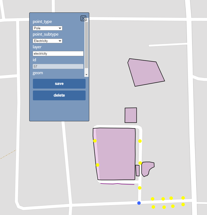
surveyed data collection + the corresponding database attribution.
Imports and exports CAD and GIS data into the system works natively
with AutoCAD and ESRI datatypes.
TerraGenie is a state-of-the-art software platform for rapid customization and creation of organizational, geo-centric information systems. This unique software platform enables any organization to have an advanced, professional surveying and GIS platform that includes customized procedural workflows, management of user-hierarchies, integration with other organizational information systems, and much more
TerraGenie works with all classic surveying equipment like GNSS,
total stations and scanners.
TerraGenie is capable of centrally show/monitor all field data collectors
to office stockholders.
TerraGenie's can be altered by the users by writing short scripts that
change workflows + field and office forms.
Creating smart forms and queries in order to tailor organization activity.
TerraGenie is the combination between professional surveying application, tailored information system and Enterprise Resource Planning (ERP). Capable to support any local language.